Into St. Augustine!

After spending a day anchored in Mayport we headed out again for St. Augustine.  This time with the spare autopilot installed, and much milder wind.  Sea state was predicted to be 3-4ft at St. Augustine instead of 9.9ft we had a couple of days ago.  The marina in St. Augustine was also nice about letting us reschedule our reservation.

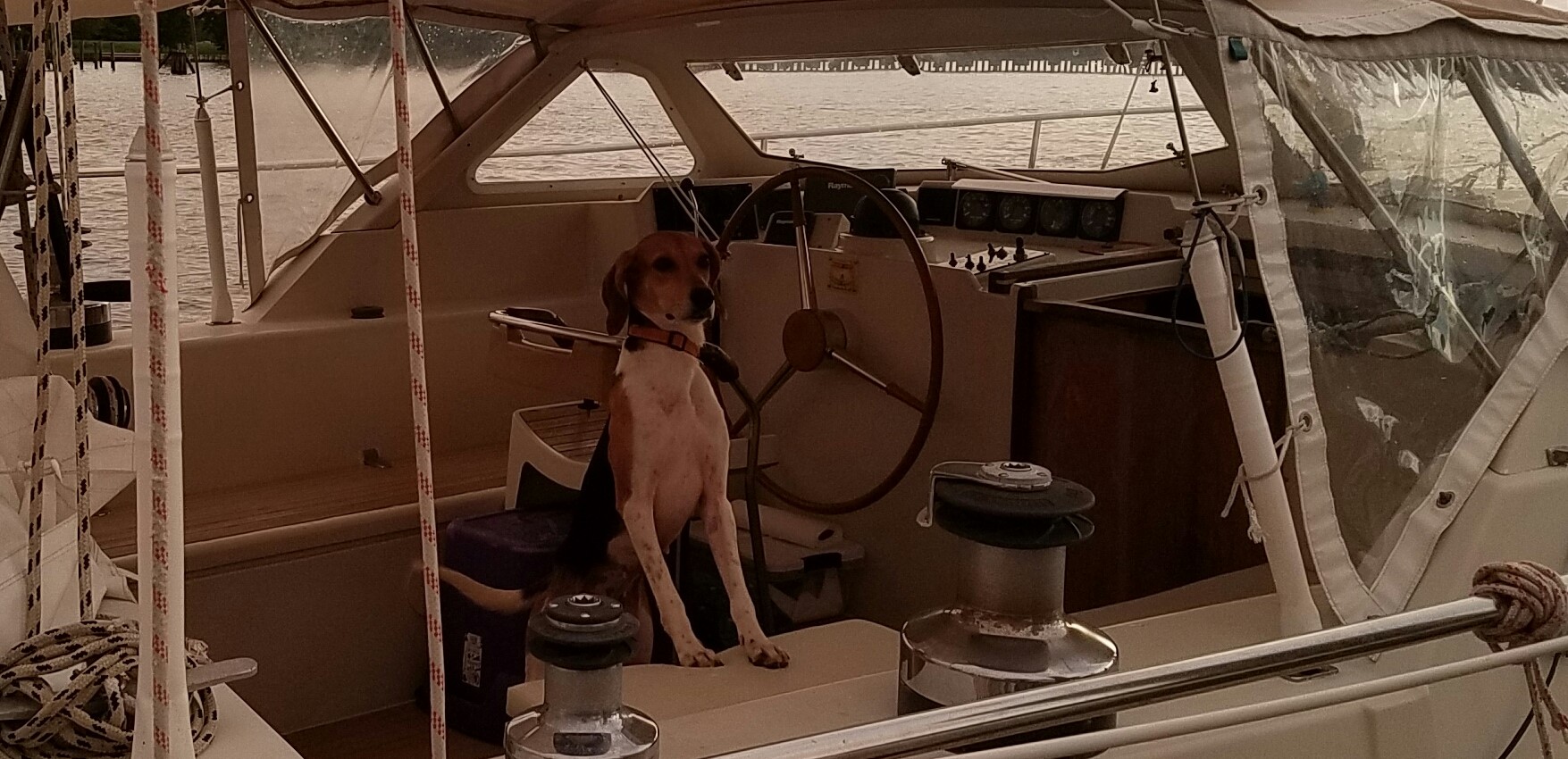
We motor-sailed out of Mayport and then turned south on the wind alone.  All good except the shaft alternator didn’t seem to be running right.  I checked it and found a wire had broken loose….but I couldn’t figure out right away where it went.  We left the alternator off since it was a short sail anyway, and we also had solar.  Kellie supervising the port side.

I noticed while we were sailing that the VHF antenna which had been bent passing under the Morehead City Bridge was missing.  I suspect it is somewhere between St. Augustine and Mayport.  It was a rough sloppy ride from Augustine to Mayport, I suspect that was when it broke off.   Will have to climb mast and see what is left up there.  A new antenna is not expensive, $80 USD  just need to check on the connection at the masthead.

Entering St. Augustine this time was “easy-peasy.”  When the buoys are above the water is is really easy to see them.  We also had the assistance of a large motor yacht that entered before us.  They had AIS running so I marked their AIS position on the chart plotter.  When we entered the harbor I followed their path on the plotter, and of course the buoys.   They hugged the red buoys as we did also and I never had less than 4 meters under the keel.

We called the marina and got exactly the mooring spot we wanted.  See the picture below, right off the downtown waterfront.    It took a few tries to tie up as the mooring pennant was wrapped around the chain.  The marina sent a boat out to help us without asking.

We discovered that the marina itself is still pretty beat up from the bout of hurricanes this summer.   Only one pier had boats on it, the others still all askew.

After settled in, I contacted the local West Marine to order parts for the autopilot.  They were the only local “RayMarine dealer” so I had to deal with them.  We needed a  clutch coil and the “secondary planetary gears.” See the picture below of the worn out gears.    They apparently decided to turn into dust!


The fellow at WM was unsure how to get them at first, but eventually figured out what to do and had them back in a few days…at a surprisingly ok price.

Colleen was a little concerned at the mess during the repair…..

When arrived on Monday. Nov 13, the city looked pretty nice with Christmas lights going up.  We didn’t plan it, but on Sunday Nov 18 the city has a Christmas lighting festival in which the whole city get lit up….and boy did they light it up.


We pretty much had the city to ourselves most of the week.  We found a bunch of nice little pubs and eateries, did a winery tour, and got the bikes on shore for some riding.

Sunday during the lighting, was different,  it was crazy-town.  Streets packed as far as the eye could see, and the Christmas lights were suddenly everywhere.

We had dinner at a cool Yucatan themed restaurant, but after that could not get into anyplace due to the crowds.  I hope the crowds will be reduced when my Mom comes in December.


St Augustine, first try

So we attempted to pull into St. Augustine after sailing about 27 hrs from Charleston, and found 10 foot waves coming fast one right after another, but not the channel marker buoys….at least not at first. I was confused as the St. Augustine inlet seems pretty straightforward and short on the charts.

In the frothy mess trying to hold position at the “safe water” buoy, we did find that one, we finally spotted two markers, one red and one green…little foam and plastic buoys sitting only about two feet above the water….and when the swell came it they were sucked underwater disappearing until the swell reached its nadir. All across the inlet there were breaking surf-like waves…not very comforting. We slowly approached the first two buoys earnestly looking for the next set of markers… all the while being tossed about like a cork. As soon as we passed between the first markers the depth went from 5 meters to zero then “less than zero.” The water in the waves also took on a sandy brown color instead of the deep blue we had before the buoys. I realized that something was way off, and spun the wheel hard over and jammed the throttle to the limit. We backed out to the “safe water” marker without touching bottom and reassessed what we had. Wind was coming out of the north east at about 20kts, swells coming in from the ocean in the east. It was about 600pm with the sun setting. We found two of the entrance markers, the rest were supposedly in position as on the charts and lighted, and our charts were fresh. We decided to try again and hold to the other side of the “channel” and see how the depth looked.
We approached the two entrance buoys square on, and about 150 feet later the depth again went from five meters instantly to zero with waves all around us and no other markers in sight. I again aggressively backed out of the inlet.

Once back at the “safe water” marker we called the marina, no answer, then called the local Coast Guard, but got a wrong number, so we called Sea Tow, since I paid for a year of coverage, I figured might as well use it. The Sea Tow rep said the channel was altered by the recent hurricanes and the buoy markers had just been replaced….and that the lighted buoys were not yet powered so there were no lit buoys. We told him the buoys were being submerged. He checked on the sea state and was surprised at how bad the conditions were. He recommended that we divert to Mayport, 29 miles north until the sea state improved. He said, since the buoys had just been replaced, their anchors might not be firmly in place and able to withstand the 10 foot waves that we, and his data buoy were seeing. He was concerned that the other buoys had drifted away.

So we reluctantly turned north and found wind at our nose and large short period swells rolling in from the north east. Had to motor the whole way to Mayport. Apparently there is also a 1.5-2 knot current running south which limited our speed over ground to 3.8 kts. Ran out the mainsail to stabilize the boat, but could not catch wind with it or the genoa. Sea state was confused and variable, and we had a crappy rolly ride for 8 hours. Sue now has the company of Colleen in the boat’s “Ralph Club.” 😉 Odd though because Colleen had put a scopalomine patch on several hours earlier. I think location on the boat has an impact.

Did I tell you that at 1pm about 5 hours before we hit St Augustine the autopilot drive crapped out…so we were hand steering the whole time. It suddenly started making crunching sounds. When we shut down the drive the wheel was still crunchy to turn. I feared the issue was with the boat steering not the autopilot, but this morning found the issue was isolated to the planetary gear on the drive. Luckily we have a spare drive.

I got the spare autopilot drive out the next morning and installed it, so we are back in business. We plan to leave Mayport around 5 am and head to St. Augustine. Early departure will get us there with the sun at our backs instead of in our eyes. Will help spotting the buoys. Also the wind and waves will be lite tomorrow.

While researching the St. Augustine inlet I came across another couple who had the almost exact same experience. When will St. Augustine fix their inlet markers?

Read their account:

Throwback Thursday: St. Augustine – The Cutest Little Town You Could Almost Shipwreck Your Boat In

Kellie is out of her shell and is now a dog. She ate my leather belt.

Sorry no pictures…..